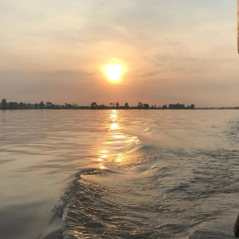
Monitoring the largest river-connected seafloor canyon on Earth
The University of Hull is part of an international team of scientists collaborating on two 12-month research studies, monitoring high-energy currents and surveying the seafloor along a 1000-kilometre-long stretch of the Congo canyon.
Project summary
The Challenge
The sediment flows down the Congo Canyon are a known hazard to subsea infrastructure as well as a mechanism for transporting organic carbon and pollutants to the deep ocean.
The Approach
An international collaboration deployed monitoring instruments over two 12-month periods and the seafloor was repeatedly mapped and sampled during multiple return cruises.
The Outcome
We monitored the longest seafloor avalanche ever recorded (over 1000 km) and observed significant changes to the seafloor.
Institutes and centres
Lead academics
Project funded by
Project Partners


The Challenge
The Congo submarine canyon, offshore Angola, is directly connected to the sediment deposited by the Congo River on the continental shelf. The existence of the canyon has been known since the late 19th century and cable breaks in the area were first observed at around the same time. Despite the size of the canyon system and the hazard to subsea infrastructure, little is known about the triggers for the flows and how much sediment is transported annually along the full length of the canyon, which terminates in a region of deposition called an alluvial fan at around 5000 metres depth below the ocean surface.
The Congo Canyon is one of the largest and most active seafloor canyon systems on the planet
Turbidity currents are an increasing threat to critical infrastructure, as more communication cables and pipelines are installed on the seafloor. Despite recent successful monitoring of turbidity currents in a handful of locations worldwide, the frequency and duration of turbidity currents in the largest river-connected submarine canyon remains poorly understood. The highly energetic nature of the flows, combined with their episodic nature, has made monitoring of the flows difficult. There is also uncertainty as to how much sediment, organic carbon and marine pollution is delivered annually to the area of deposition on the Congo submarine fan.
The Approach
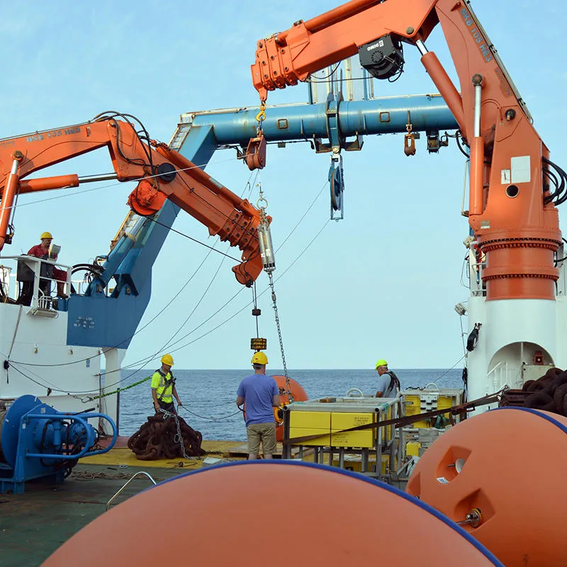
Building on experience of previous deployments of moored instruments in Monterey Canyon, offshore California, and elsewhere, an international team of scientists deployed flow-monitoring equipmentin the channel of the Congo submarine canyon at water depths from 1560 to 4730 metres below the ocean surface. On each of the eleven moorings was suspended an instrument called an Acoustic Doppler Current Profiler (ADCP). These ADCPs are designed to measure flow speeds and directions of sediment-laden water over a profiling range below the instrument. Profiles of flow speeds were recorded over distances of 30 to 150 metres above the seabed channel every 11 seconds.
The seafloor along the canyon was mapped in high resolution using a multibeam echosounder built into the hull of the research vessels RRS James Cook and RRS Discovery, which were used for the expeditions in 2019, 2024 and 2025. By comparing differences in the shape of the seafloor between these surveys and previous surveys we were able to determine how the flows were able to significantly change the shape of the channel and build deposits of sediment in deep water.
In addition to the remote surveying and monitoring in the channel, a number of Ocean-Bottom Seismometer instruments were placed outside of the destructive channel the turbidity currents flow along to measure the vibrations created by the passing flows. Seafloor sediment core samples of were taken using a piston core giving information about the top few metres of sediment in the seafloor. A multi-corer also sampled the near surface sediments. The cores gave us important information about sediment grain size, organic carbon content, and microplastic pollution concentrations.
The Impact
In addition to several flow events observed during the first few months of recording, the deployed equipment captured the longest runout sediment flow of any type yet measured. The flow travelled over 1,130 km whilst accelerating from 5.2 to 8.0 metres per second. This significant event broke two subsea communication cables, impacting internet connectivity across Southern Africa. It also severed the mooring cables of all the monitoring equipment placed in the canyon channel, which were fitted with positioning beacons and were subsequently recovered from the ocean surface.
We successfully monitored one of the most significant events in the canyon in over 30 years. Significant changes were seen in the seafloor channel, giving us new and valuable insights into the hazards posed by these energetic and destructive flows.Dr Steve Simmons
Energy and Environment Lecturer, University of Hull
The seafloor turbidity currents originated from the Congo River-mouth and coincided with a significant flood event on the Congo River that delivered large quantities of sediment to the continental shelf. The results show how major rivers can efficiently connect to the deep ocean. In one year, the turbidity currents eroded 1,338 to 2,675 million tonnes of sediment from one submarine canyon, equivalent to 19 to 37% of annual suspended sediment flux from all rivers worldwide. The results demonstrate how river-floods generate flows that run out throughout the entire length of the channel system. The canyon head is primed by rapid sediment-accumulation around the river-mouth, and turbidity currents are sometimes triggered by spring tides weeks to months after the flood. The observations demonstrate the highly effective transportation of organic carbon to the deep ocean and have important implications for our understanding of hazards to seafloor infrastructure.