Working together to secure a sustainable future for all
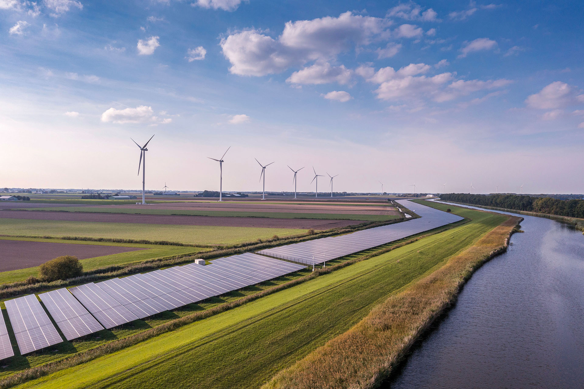
The Energy and Environment Institute is driving societal and environmental resilience
Our team of internationally-recognised experts lead research, innovation, education and engagement around climate adaptation and mitigation, flood resilience and the energy transition.
What we do
On the frontline of humanity's future
Our work has real-world impact. We draw together academics and partners to help people live better in the face of the climate crisis, with a focus on four key thematic areas.


A national network to improve coastal resilience
The University of Hull is lead partner in the Coast-R Network, an inclusive and collaborative community of practice working to build knowledge, action and resilience for UK coastal communities and seas.
Northern Net Zero Accelerator
We're driving innovation and regional economic growth with our NNZA partners.
SuDSlab
A unique partnership working together to improve Sustainable Drainage Systems (SuDS) and reduce flood risk.
EPSRC Offshore Wind Centres for Doctoral Training
We're working with the offshore wind energy sector on PhD scholarships that drive innovation and develop a talent pipeline.
Our people
The Energy and Environment Institute brings together world-leading academics from diverse disciplines, working with practitioners, professionals and the community to address climate change impacts and secure a zero carbon future.

Professor James Gilbert
EEI Director
Jim is a Professor of Engineering, working on initiatives relating to offshore wind energy, energy resilience and wider issues of sustainability.

Dr Giles Davidson
Strategic Projects Lead
Giles focuses on strategic EEI projects, including bringing the Ark-National Flood Resilience Centre to fruition.

Dr Steven Forrest
Lecturer in Flood Hazard and Risk
Steven’s research focuses on bridging the theory-practice gap in flood resilience with a particular emphasis on governance, civil society, and serious gaming.

Dr Ben Kolosz
Lecturer in Renewable Energy and Carbon Removal
Ben works at the interface between renewable energy and carbon removal, assessing the energy needs of technological systems as well as their societal impacts.

Professor Briony McDonagh
Coast-R Network Lead
Briony’s research focuses on community engagement for climate and water action. She leads the Coast-R Network and the Leverhulme Centre for Water Cultures.

Professor Stuart McLelland
EEI Deputy Director
Stuart focuses on physical modelling of flow processes and sediment transport dynamics, and leads the Aura CDT's PGDip Offshore Wind & the Environment.

Dr Steve Simmons
Lecturer in Energy and Environment
Develops our understanding of sedimentary processes through the application of novel acoustic measurements of flow and sediment transport.

Dr Kate Smith
Lecturer in Flood Risk Management
Kate's research centres around the interactions between water, people, landscape and identity, and in participatory methodologies and thematic analysis.

Dr Robert Thomas
Lecturer in Geomorphology and Flood Risk
Rob develops novel technologies to study hydraulics, sediment transport, slope stability and the impacts of flora and fauna on those processes.

Dr Grigorios Vasilopoulos
Lecturer in Geospatial and Earth Observation
Greg's research interests are centred on understanding Earth surface processes and morphodynamics.

Dr Andrew Want
Lecturer in Renewable Energy
Andrew's research explores the interactions between the offshore renewable energy industry and the marine environment.

Dr Cheng Zeng
Lecturer in Renewable Energy & Sustainable Technologies
Cheng's research is in sustainable building services, renewable energy, energy-efficient technologies, and low-carbon solutions aimed at driving net-zero ambitions.

Our facilities
Our independent Property-level Flood Resilience Innovation and Testing Laboratory (PFRlab) supports industry to bring safe and effective flood protection measures to market.
Explore our web page, or get in touch to discuss your requirements, or arrange a tour.

Our partners and collaborators
Our connections and collaborations with regional, national and international partners are the foundation of our impactful research and community engagement. We work with a broad spectrum of partners from universities, industry, government and community organisations.
Latest from the Institute
Discover our latest news and events, explore our events archive and see our latest publications and resources.
Get in touch