Working together to secure a sustainable future for all
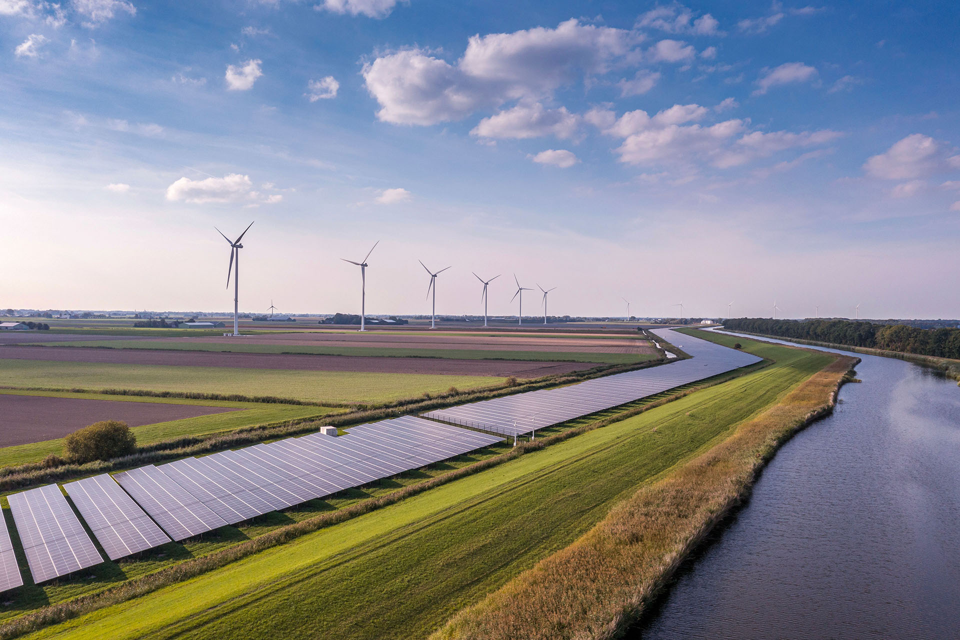
The Energy and Environment Institute is driving societal and environmental resilience
Our team of internationally-recognised experts lead research, innovation, education and engagement around climate adaptation and mitigation, flood resilience and the energy transition.
Get in touch


